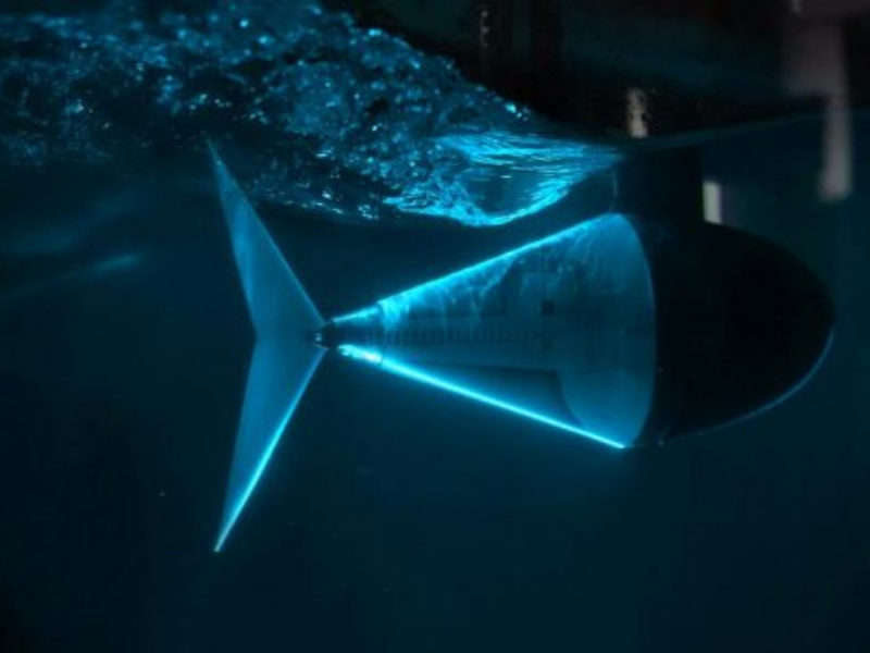

Chemical, biological, radiological, nuclear, and explosive substances (commonly referred to as CBRNE) can endanger both the public and emergency responders. In 2023, a tiny cesium capsule fell from a truck in Australia, sparking a major search. The growing number of hybrid attacks and other destabilizing activities has further intensified the threat landscape.
Two research departments at Fraunhofer FKIE are therefore focusing closely on how drones (unmanned aerial systems, UAS) and robots (unmanned ground vehicles, UGVs) can be used to offer the most effective support to people in such hazardous situations.
Such systems have been tested for years at EnRicH and ELROB. Both events are organized in alternating years by researchers from the Cognitive Mobile Systems department. They test drones and robots in real-world conditions and guide their development.
Highly Autonomous UAS for Radioactive Source Detection
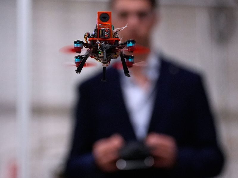
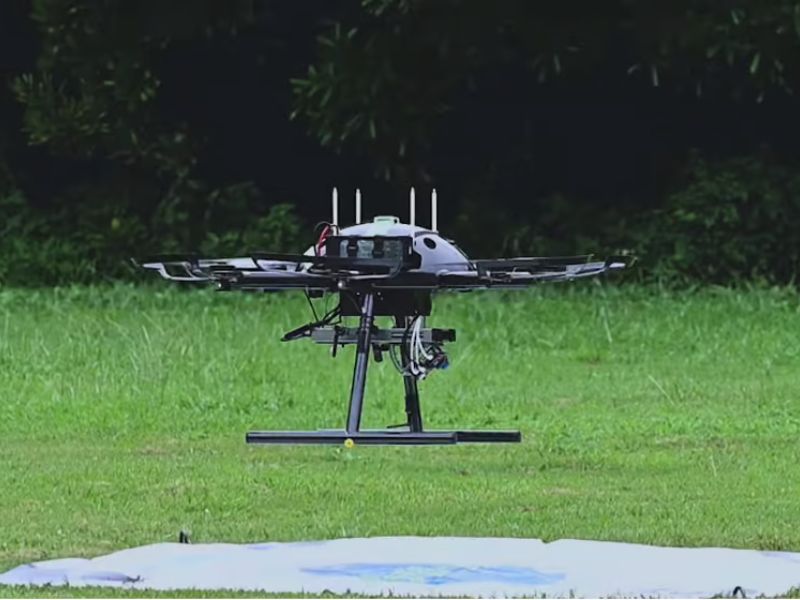
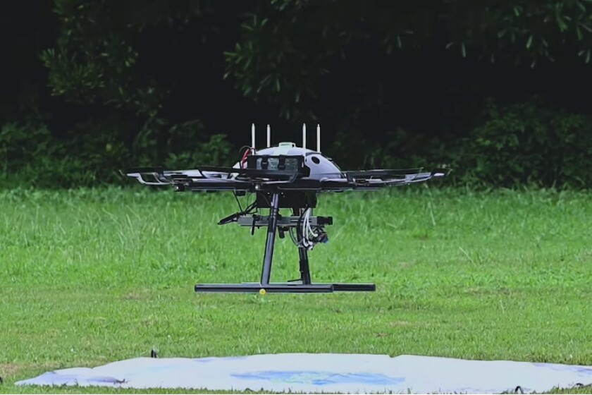
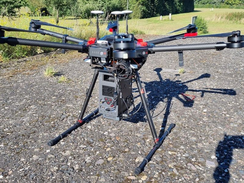
Under a contract with the Bundeswehr Research Institute for Protective Technologies and CBRN Protection (WIS), researchers in the Sensor Data and Information Fusion department are developing a UAS capable of rapidly and accurately detecting and locating radioactive sources. A technology demonstrator has already undergone field trials at the WIS facility in Munster, demonstrating the ability to pinpoint a radioactive source within a few meters in just minutes.
“The cesium capsule in Australia took days to locate using handheld detectors. “Our UAS could have located it much faster,” says Claudia Bender, who co-designed the demonstrator with Torsten Fiolka.

Detection Involves an Exploration Phase and a Targeted Search
The researchers focus on advanced data processing, sensor fusion, and automation. The system largely automates the detection process and performs it in two stages: an exploration phase and a search phase. In the exploration phase, the UAS surveys the target area, continuously gathering environmental data. When it detects a deviation from background radiation, the system transitions into search mode.
In search mode, the drone’s flight path adjusts dynamically based on both previously collected data and real-time sensor readings. The system uses stochastic methods to estimate the radioactive source’s probable locations.
“After the pilot launches the drone, it first follows a predetermined flight path. “Once sufficient data is gathered, the system switches to adaptive search mode to estimate the source’s location,” the researcher explains. “The drone then creates waypoints, continuing until it pinpoints the hazardous material and reports its exact position.”

Advanced Sensing and Mapping Capabilities of the Drone
A spatial heat map shows radiation levels across the scanned areas, while a probability map highlights the cell most likely to contain the radioactive material.
The drone uses a gamma detector to measure radiation and additional sensors to support detection. It also includes electro-optical and infrared cameras, an Intel NUC, an IMU, and an LTE module for ground monitoring. The cameras capture live video from the drone and identify objects like people, buildings, and vehicles, displaying them on a georeferenced map. The IMU tracks the drone’s 3D position and movement.
Researchers developed the technology demonstrator through the HUGIYN project (Highly Automated UAS for Detecting and Identifying γ-Emitting Nuclides). In the SLEIPNIR project, researchers aim to boost the UAS’s speed and track multiple moving nuclides simultaneously.
Read the original article on: Tech Xplore
Read more: Drone Technology to Reshape Disaster Response, Healthcare, Environment, Farming, and Cybersecurity